Recent Damage
The storms your roofers are chasing right now.
Every 10 minutes, we capture the peak moment of every active severe alert in the US — radar, polygon, Storm Score, and property count baked in. Here are the most damaging storms from the last 7 days.
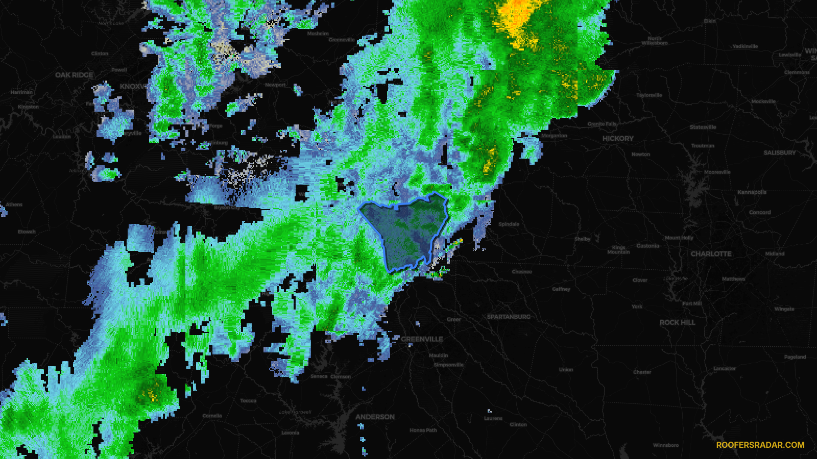
WatchWind1d ago
Wind Advisory issued April 19 at 1:39AM EDT until April 19 at 2:00PM EDT by NWS Greenville-Spartanburg SC
South Carolina
Score
4
🏠 Res
51,972
🏢 Com
2,352
In NWS warning area
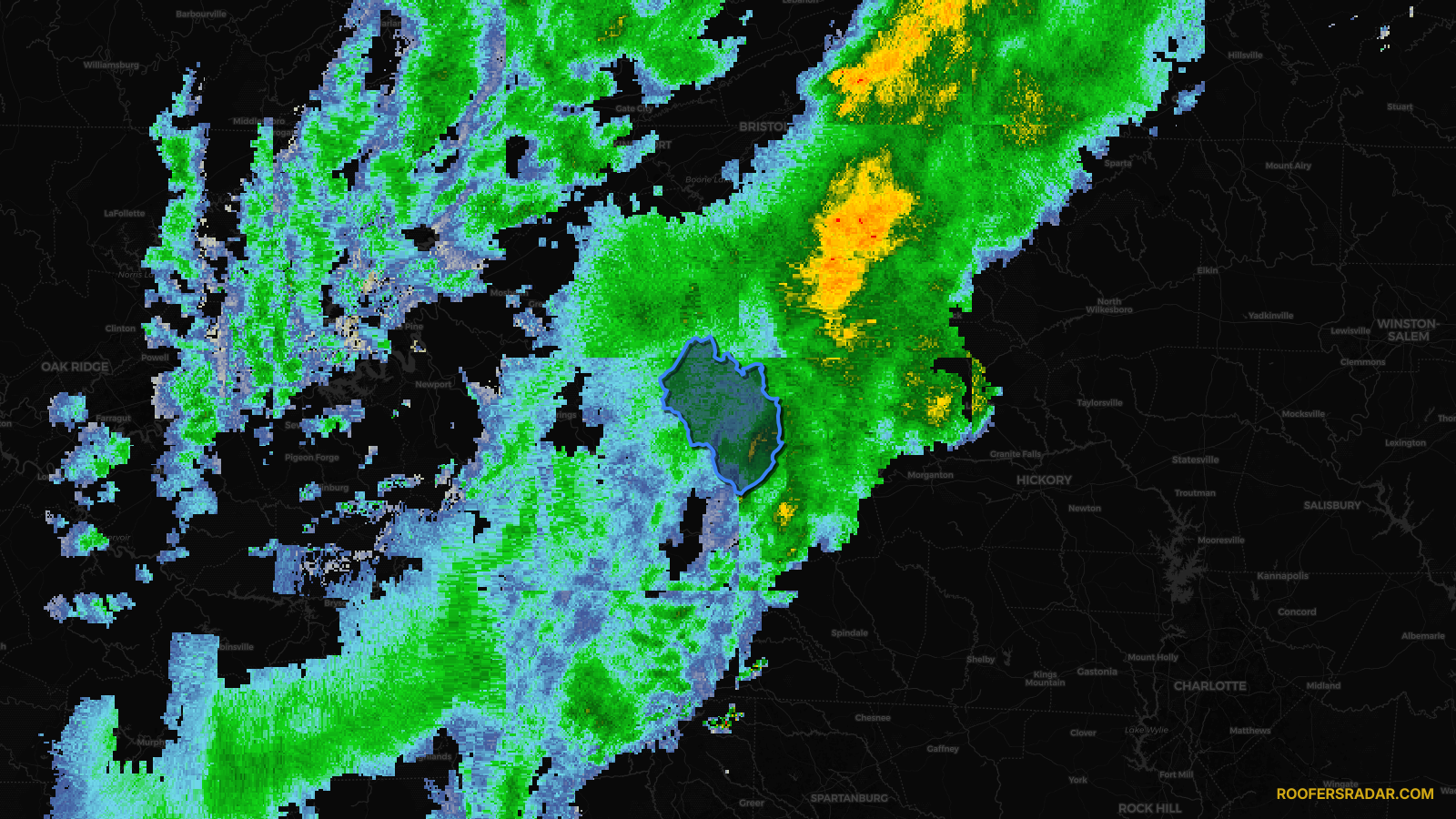
WatchWind1d ago
Wind Advisory issued April 18 at 2:10PM EDT until April 19 at 2:00PM EDT by NWS Greenville-Spartanburg SC
South Carolina
Score
4
🏠 Res
9,807
🏢 Com
375
In NWS warning area

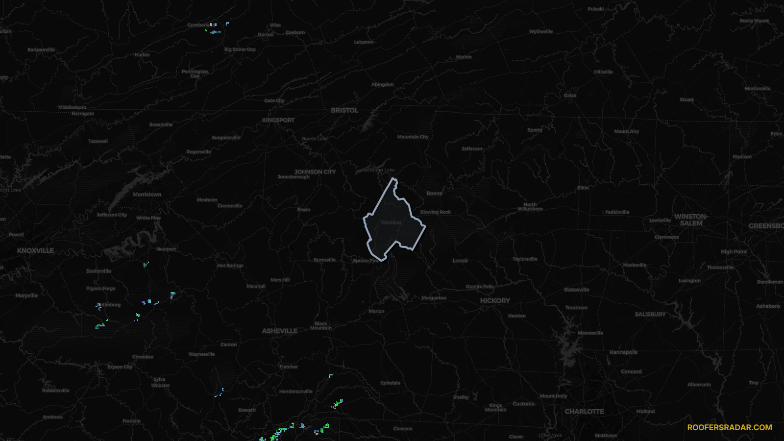
WatchWind1d ago
Wind Advisory issued April 18 at 2:10PM EDT until April 19 at 2:00PM EDT by NWS Greenville-Spartanburg SC
South Carolina
Score
4
🏠 Res
702
🏢 Com
18
✓ In storm zone
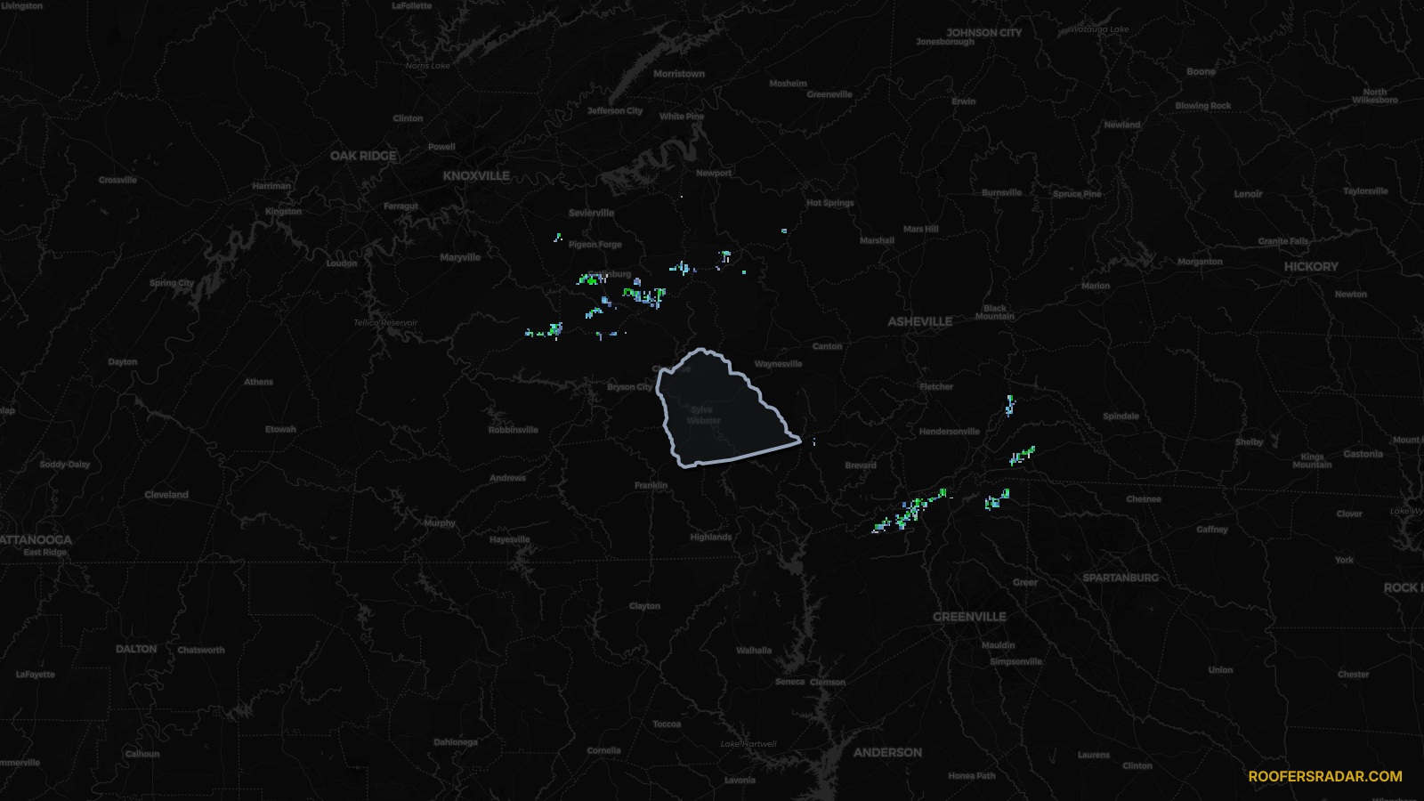
MinorWind19h ago
Wind Advisory issued April 19 at 2:14PM EDT until April 19 at 2:00PM EDT by NWS Greenville-Spartanburg SC
South Carolina
Score
Minor
🏠 Res
16,205
🏢 Com
951
In NWS warning area
MinorWind22h ago
Wind Advisory issued April 19 at 2:14PM EDT until April 19 at 2:00PM EDT by NWS Greenville-Spartanburg SC
South Carolina
Score
Minor
🏠 Res
14,637
🏢 Com
515
In NWS warning area
See a storm above? Get the lead list in minutes.
Every polygon here is a neighborhood of roofs. Upload the radar image, confirm the zone, pull the property list. No GIS team required.
Get early access →