SevereThunderstorm★ Peak frameCaptured 2d ago
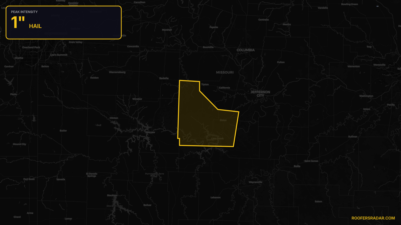
Severe Thunderstorm Warning issued April 17 at 7:30PM CDT until April 17 at 8:15PM CDT by NWS Springfield MO
Missouri
Pull this lead list →Pre-loads ~47,324 residential properties into Step 2 for zone selection.
⚠Counts inside NWS warning area· storm hadn’t entered polygon at capture
Storm Score
11
🏠 Residential
47,324
🏢 Commercial
2,267
Total properties
49,591
Estimated roofing opportunity🔴 Zones 1 & 2
💰 ~$23M
Conservative estimate at 10% claim rate, scoped to the damage zone (core + inner — ~40% of the warning polygon): 🏠 ~18,930 residential · 🏢 ~907 commercial. Industry-low claim values ($10K residential / $40K commercial).
NWS intensity
🧊 1"Hail💨 60MPHRadar indicatedIntensity Score 11/100
Issued
Apr 18, 12:30 AM UTC
Expires
Apr 18, 1:15 AM UTC
Event type
Severe Thunderstorm Warning
Affected areas (3)
Camden, MOMiller, MOMorgan, MO
ID: urn:oid:2.49.0.1.840.0.57f9964b8d4044314ba28944bcb3ae1fa92ecb9a.001.1Centroid: 38.414, -92.830