WatchThunderstorm★ Peak frameCaptured 1d ago
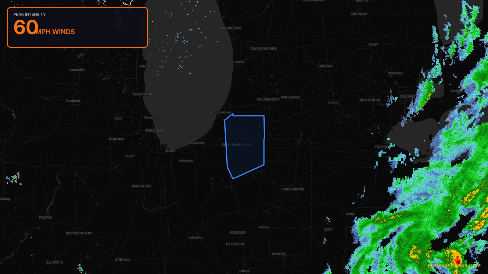
Severe Thunderstorm Warning issued April 18 at 12:59AM EDT until April 18 at 1:45AM EDT by NWS Northern Indiana
Indiana, Michigan
Pull this lead list →Pre-loads ~213,634 residential properties into Step 2 for zone selection.
⚠Counts inside NWS warning area· storm hadn’t entered polygon at capture
Storm Score
9
🏠 Residential
213,634
🏢 Commercial
15,791
Total properties
229,425
NWS intensity
💨 60MPHIntensity Score 9/100
Issued
Apr 18, 4:59 AM UTC
Expires
Apr 18, 5:45 AM UTC
Event type
Severe Thunderstorm Warning
Affected areas (7)
Elkhart, INKosciusko, INMarshall, INSt. Joseph, INBerrien, MICass, MISt. Joseph, MI
ID: urn:oid:2.49.0.1.840.0.3486537cf6abade12fdc1c5757451fd3911b330d.001.1Centroid: 41.785, -86.020