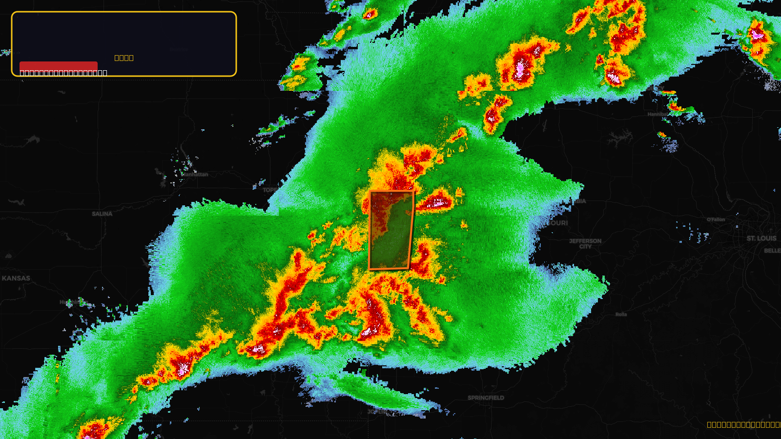
Very SevereThunderstorm★ Peak frameCaptured 2d ago
Severe Thunderstorm Warning issued April 17 at 5:02PM CDT until April 17 at 6:00PM CDT by NWS Kansas City/Pleasant Hill MO
Missouri
Pull this lead list →Pre-loads ~184,941 residential properties into Step 2 for zone selection.
✓Counts inside actual storm footprint· 13.2% of NWS polygon hit
Storm Score
47
🏠 Residential
184,941
🏢 Commercial
8,808
Total properties
193,749
Estimated roofing opportunity🔴 Zones 1 & 2
💰 ~$194M
Conservative estimate at 22% claim rate, scoped to the damage zone (core + inner — ~40% of the warning polygon): 🏠 ~73,976 residential · 🏢 ~3,523 commercial. Industry-low claim values ($10K residential / $40K commercial).
NWS intensity
🧊 0.88"Hail💨 80MPHRadar indicated✓ Wind observed⚠ DestructiveIntensity Score 47/100
Issued
Apr 17, 10:02 PM UTC
Expires
Apr 17, 11:00 PM UTC
Event type
Severe Thunderstorm Warning
Affected areas (3)
Bates, MOCass, MOJackson, MO
ID: urn:oid:2.49.0.1.840.0.31882e19cced17b59f509785e5b7c75d92d4b247.001.1Centroid: 38.788, -94.367