SevereThunderstorm★ Peak frameCaptured 3d ago
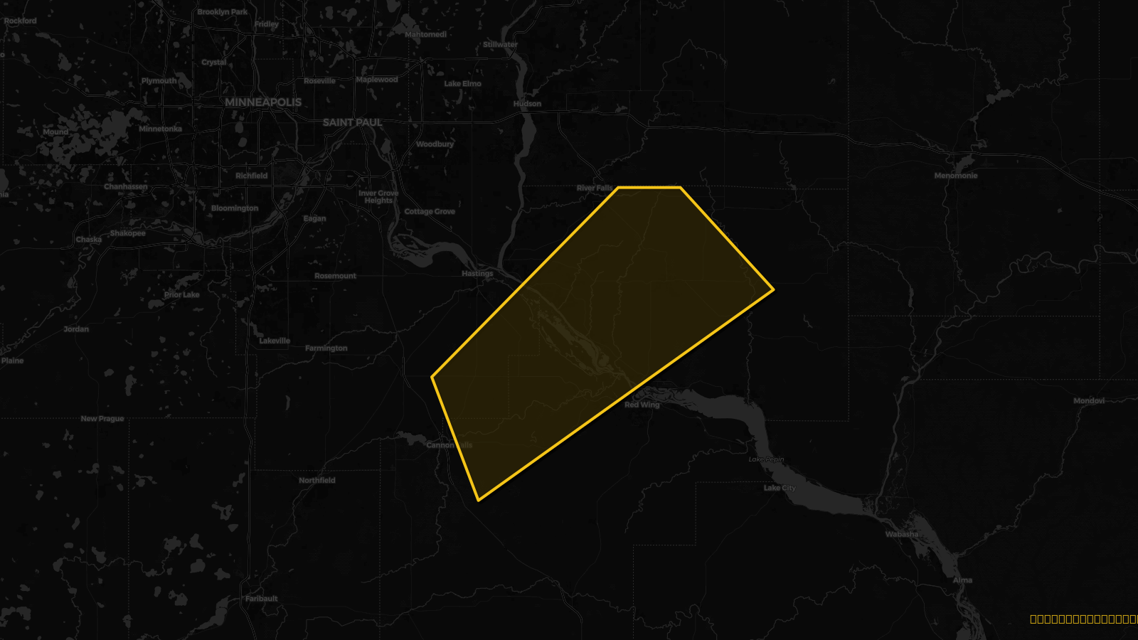
Severe Thunderstorm Warning issued April 17 at 10:10AM CDT until April 17 at 11:00AM CDT by NWS Twin Cities/Chanhassen MN
Minnesota, Wisconsin
Pull this lead list →Pre-loads ~8,675 residential properties into Step 2 for zone selection.
Storm Score
16
🏠 Residential
8,675
🏢 Commercial
377
Total properties
9,052
Estimated roofing opportunity🔴 Zones 1 & 2
💰 ~$4.1M
Conservative estimate at 10% claim rate, scoped to the damage zone (core + inner — ~40% of the warning polygon): 🏠 ~3,470 residential · 🏢 ~151 commercial. Industry-low claim values ($10K residential / $40K commercial).
Issued
Apr 17, 3:10 PM UTC
Expires
Apr 17, 4:00 PM UTC
Event type
Severe Thunderstorm Warning
Affected areas (3)
Dakota, MNGoodhue, MNPierce, WI
ID: urn:oid:2.49.0.1.840.0.2e1dc12c75fe73dada67c0d94045e9aa67f8a478.001.1Centroid: 44.678, -92.675