Very SevereThunderstorm★ Peak frameCaptured 2d ago
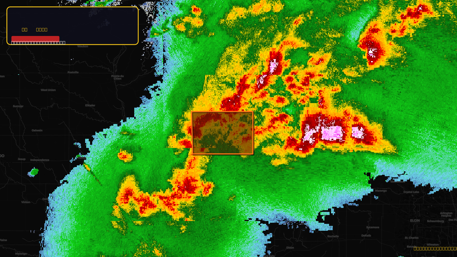
Severe Thunderstorm Warning issued April 17 at 5:34PM CDT until April 17 at 6:15PM CDT by NWS Milwaukee/Sullivan WI
Wisconsin
Pull this lead list →Pre-loads ~4,616 residential properties into Step 2 for zone selection.
✓Counts inside actual storm footprint· 14% of NWS polygon hit
Storm Score
31
🏠 Residential
4,616
🏢 Commercial
629
Total properties
5,245
Estimated roofing opportunity🔴 Zones 1 & 2
💰 ~$6.3M
Conservative estimate at 22% claim rate, scoped to the damage zone (core + inner — ~40% of the warning polygon): 🏠 ~1,846 residential · 🏢 ~252 commercial. Industry-low claim values ($10K residential / $40K commercial).
NWS intensity
🧊 1"Hail💨 70MPHRadar indicated⚠ ConsiderableIntensity Score 31/100
Issued
Apr 17, 10:34 PM UTC
Expires
Apr 17, 11:15 PM UTC
Event type
Severe Thunderstorm Warning
Affected areas (1)
Lafayette, WI
ID: urn:oid:2.49.0.1.840.0.237be281773650ad84ec29b69cea4aeba027b219.001.1Centroid: 42.690, -90.074